Building and Construction Site Survey
drone site surveying services
Elevate your project management with our state-of-the-art drone site surveying services.
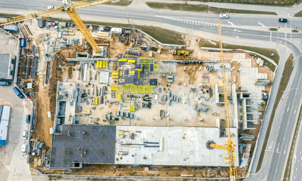
UAV Drone Survey of Two 70 Keep investors and stakeholders informed with real-time updates on project progress through aerial surveys. Our services empower you to generate intricate 2D/3D replicas of your construction site, offering a comprehensive visualization of project advancement.
Keep investors and stakeholders informed with real-time updates on project progress through aerial surveys. Our services empower you to generate intricate 2D/3D replicas of your construction site, offering a comprehensive visualization of project advancement.
Services
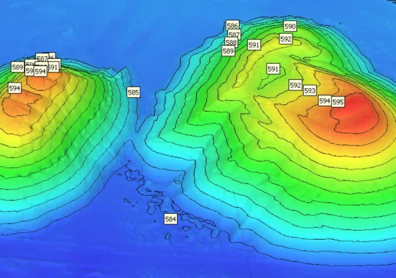
- Stockpile and Cut/fill measurement
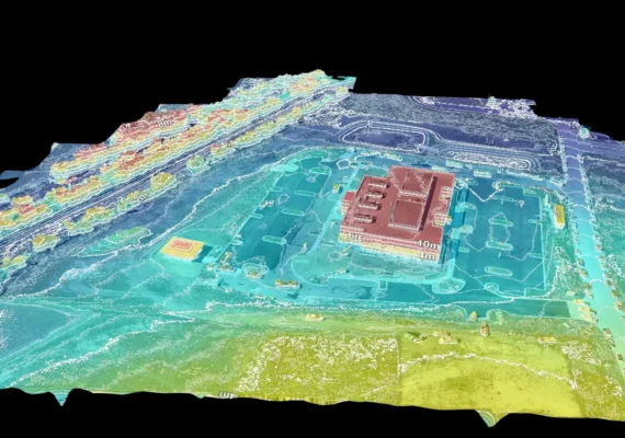
- Construction site 2D/3D survey
- Progress date base comparison
- Point cloud, GeoTIFF and Elevation maps
- Digital Terran Model (DTM)


Reduce manpower costs and make your project more efficient with automated data capture
During the construction stages keep all your stakeholder’s updated with site view, progress view and safely check. Make decisions with comprehensive data
Document your entire job site safely using aerial & ground imagery that you can use to capture progress and efficiently manage projects
Our Services

At Two70° Drone Survey and Services, we are dedicated to providing you with innovative solutions to streamline your construction projects and drive success.
Benefits
Experience the following benefits with our comprehensive site surveying solutions:
Health and Safety Monitoring
Safeguard your workforce by swiftly identifying potential hazards and delays with precision.
Cost and Time Efficiency
Harness cutting-edge drone surveying technology to optimize time and resources. Our enterprise drones autonomously map your construction site, providing detailed project overviews crucial for informed decision-making and stakeholder engagement.
Work Health and Safety Compliance
Our aerial surveying services aid in promptly identifying and addressing risks, ensuring compliance with health and safety regulations.
Accurate Data Capture
Utilize advanced RTK and ground control methods to capture precise images and data. Construct intricate 2D and 3D models of your construction site or building, empowering your team with enhanced visibility and progress tracking capabilities, ultimately minimizing costly variations.
