Redefining Surveys from the Sky
Redefining Security from the Sky
AERIAL Drone survey & services
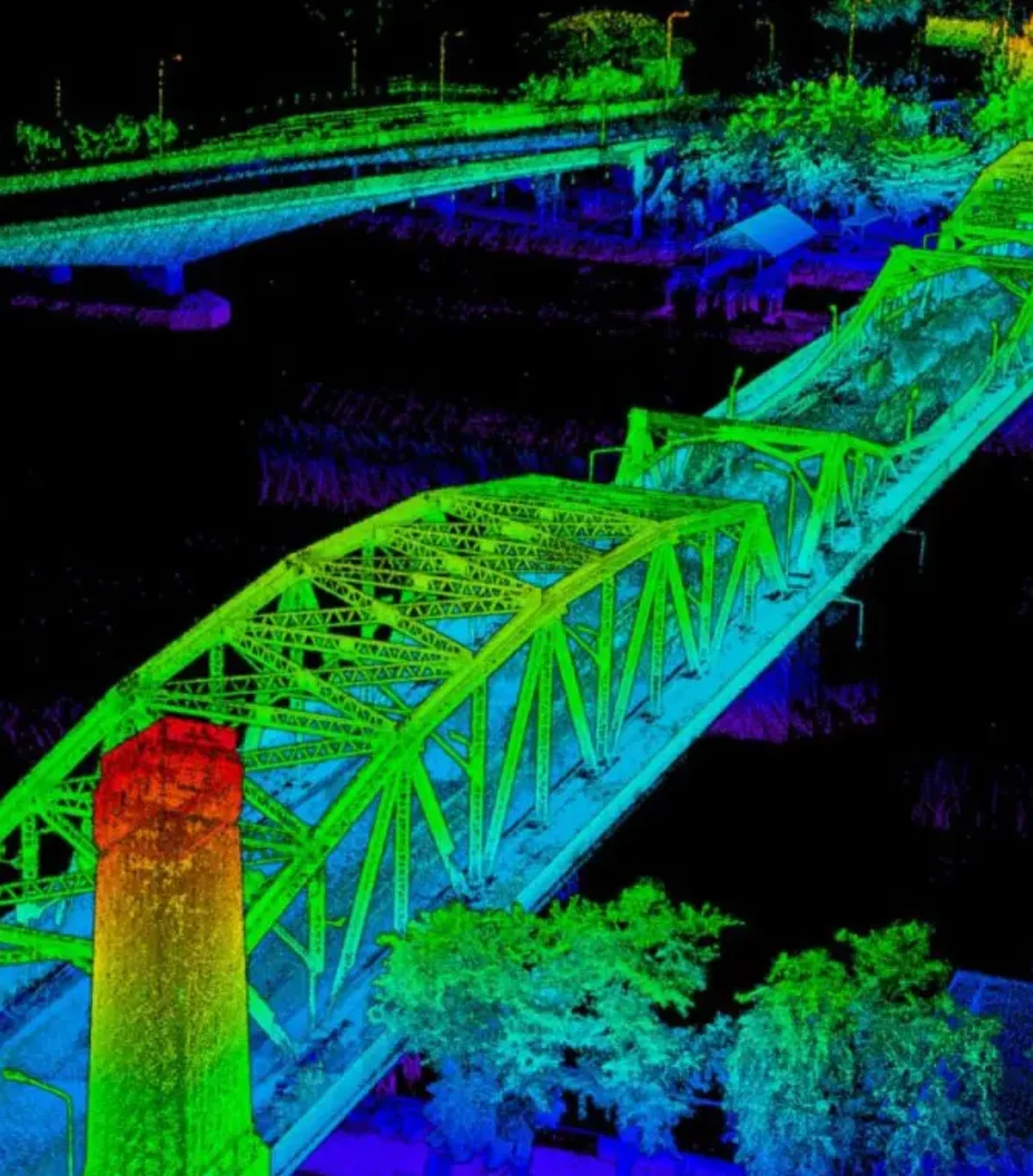
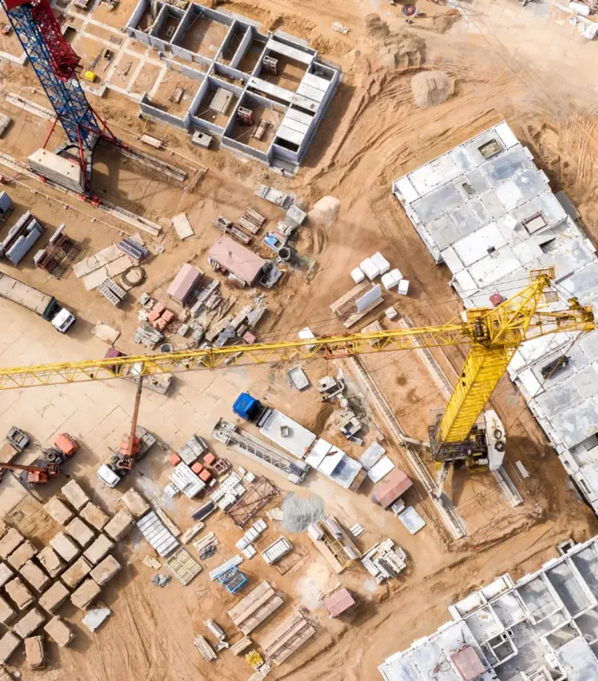
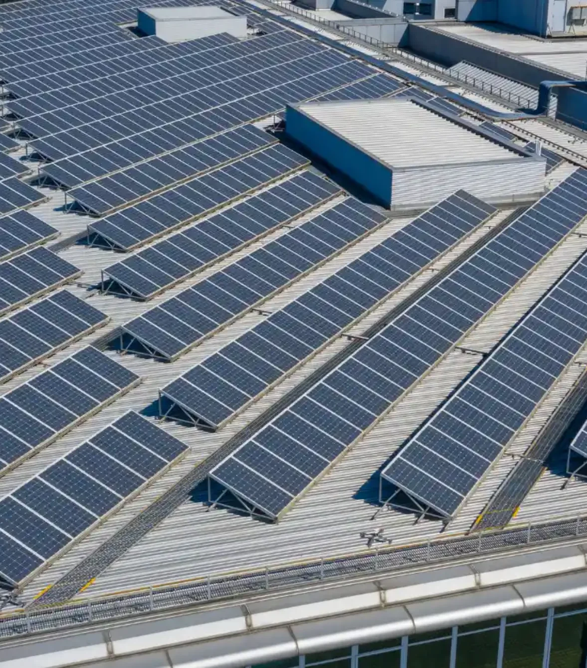
Two70° Drone survey and services specialise in efficient drone surveys and inspections, utilising cutting-edge technology for streamlined projects. Our precision and efficiency guarantee successful outcomes, elevating your projects with our professional expertise in drone technology and data processing for optimal results.

OUR COMMITMENT
Embracing an open-minded approach to problem-solving, at two70° drone survey and services, we are dedicated to assisting you in discovering the optimal solution for your project, regardless of its complexity. Our fleet of enterprise drones stands ready to enhance the efficiency of your project, and commencing your journey with us is straightforward. Its as easy as 1 …2 …3!
Capture
Autonomously and digitally capture your project site, assets or environment with our fleet of drones.
01
Analyze
Accurately measure and annotate your site or asset to make smarter business and safety decisions.
02
Report
Keep all your stakeholders informed and updated on your project process by providing you with a comprehensive report.
03
It’s important to note that Two70° Drone Survey and Services deliverables are not intended to replace traditional surveyor work. Instead, they serve as a supplement to enhance the surveyor’s work, making it easier and faster to acquire and process the necessary data to produce official documentation and deliverables.
WE'RE ABOUT QUALITY AND TRUST

WHY US
EMPOWER YOUR PEOPLE
Equip your teams with intelligent tools that expand their capabilities.
MAXIMIZE YOUR BUDGET
boosting your productivity and saving.
ACCESS NEW DATA
Use data-driven insights from our drone services to make decisions.
INCREASE ACCURACY
Collect high-quality imagery to accurately monitor changes over time. Our data is trusted, accurate and actionable.
SAVE TIME
Deploying a drone takes only minutes. No more time-consuming set-up or prep
BOOST EFFICIENCY
Automate data capture, save time and never miss crucial information
Get in touch
Ready to elevate your project with precision aerial surveys? Reach out to us today and let's soar to new heights together!
