")
The Evolution of Surveying Technology
Surveying has always played a pivotal role in land development, construction, and infrastructure planning. It’s how professionals ensure that the land, resources, and built environments meet the required standards. The world of surveying, however, hasn’t always been the most technologically advanced. For years, surveyors worked with heavy tools like theodolites, levels, and total stations to measure land and map out areas for construction or analysis.
Traditional Surveying Methods
In the past, traditional surveying methods, though effective, were labour-intensive and took considerable time. Surveying crews would trek across often challenging terrains, using manually operated instruments to gather data. This process could take days, even weeks, depending on the size of the project. While these techniques are still used today in some areas, the technological leap of drones has offered a more efficient, precise, and cost-effective solution.
The Shift to Aerial Surveying
In the 20th century, aerial surveying methods such as photogrammetry began to make their mark. Airplanes and helicopters equipped with cameras allowed surveyors to gather data from the sky. However, these methods were costly, often requiring expensive aircraft and complex logistics. It wasn’t until drones entered the picture that aerial surveying became more accessible to businesses of all sizes. The key advantage of drones lies in their ability to reach remote or hard-to-access locations with ease, all while providing highly accurate data at a fraction of the cost.
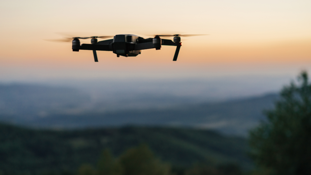
How Drones Are Transforming the Surveying Industry
Drone technology has shaken up the surveying industry in Australia, making traditional surveying methods look like something from the past. The ability to gather real-time data from above has made surveying quicker, easier, and far more accurate. But the true revolution lies in how drones help surveyors improve their workflow while also providing better results.
Speed and Efficiency Gains
Traditional surveying can be slow and cumbersome, but with drones, the entire process is sped up significantly. Drone-based surveys can be completed in hours rather than days or weeks. For example, large sites such as mining operations, construction zones, or agricultural land can now be surveyed in a matter of hours. A typical drone flight can capture thousands of images in a short span of time. With this, data that would typically take days to compile and analyze can be processed quickly, meaning faster decision-making and increased productivity on-site.
Precision and Accuracy Like Never Before
When it comes to surveying, precision is everything. Mistakes can result in expensive delays or rework. Fortunately, drones are equipped with technology that allows them to capture incredibly detailed and accurate data. Through the use of high-quality cameras, LiDAR sensors, and GNSS (Global Navigation Satellite System), drones can achieve precision levels that were previously unattainable with traditional methods. This technology allows surveyors to create highly detailed 3D models, orthomosaic images, and topographical maps that are accurate to the centimetre. The precision of drone surveying is a game-changer, particularly in projects where fine detail is required, such as land subdivision or mapping infrastructure.
Cost-Effective Solutions for Large-Scale Projects
One of the key reasons why drone technology is taking the surveying world by storm is the significant cost savings it offers. When comparing the expense of traditional surveying methods—such as hiring multiple surveyors, renting equipment, and allocating time for data collection—drone surveying comes out on top in terms of affordability. Large-scale projects, particularly in remote or hazardous locations, used to require substantial financial investment. Drones have made these projects more viable for businesses of all sizes. By eliminating the need for on-site crews and expensive equipment, drone technology delivers highly accurate results while cutting costs in the process.
Applications of Drone Surveying in Australia
In Australia, drone surveying has seen widespread adoption across various sectors, from agriculture to mining, land development, and even environmental monitoring. Below, we explore some of the key industries benefiting from drone technology.
Land Development and Construction
When it comes to land development, accuracy is essential. Drones are frequently used to create 3D site models, perform volumetric analysis, and monitor construction progress. For builders and developers, drones offer the ability to track projects in real-time, allowing for quicker adjustments and more informed decisions. The high level of detail provided by drone surveys can also help identify any discrepancies early on, avoiding costly mistakes further down the line.
Environmental and Agricultural Monitoring
Agricultural professionals are harnessing the power of drones to optimise land management and improve crop yields. Drones equipped with multispectral and thermal cameras can quickly identify areas of concern, such as pests, water shortages, or soil health issues. Additionally, environmental organisations utilise drones to monitor ecosystems, track deforestation, and assess the impact of natural disasters. With their ability to cover vast areas in a fraction of the time, drones have become an invaluable tool for managing and preserving Australia’s natural resources.
Mining and Infrastructure Planning
Mining operations require precise measurements for excavation, stockpile monitoring, and environmental compliance. Drones are used extensively in the mining industry to capture topographical data, measure volumes, and plan operations with accuracy. Similarly, for infrastructure planning, drones provide aerial imagery of highways, railways, and other critical infrastructure, allowing engineers to identify potential problems before construction begins. Drones help streamline the planning phase, saving both time and money while improving the overall quality of the projects.
Challenges and Considerations in Drone Surveying
While drone surveying has unlocked a wealth of opportunities, there are still some challenges to consider before fully embracing the technology.
Regulatory Frameworks and Compliance
Australia’s Civil Aviation Safety Authority (CASA) governs the use of drones for commercial purposes, requiring all drone operators to follow strict guidelines. In order to fly drones legally, commercial drone operators must be licensed and comply with airspace restrictions. These regulations are in place to ensure safety, but they can sometimes be a barrier for those new to the industry. However, as the drone industry continues to evolve, regulations are expected to become more standardised and accessible.
Weather Conditions and Operational Limitations
While drones are versatile, they are not immune to the challenges posed by weather. High winds, rain, or extreme temperatures can hinder drone operations. Planning flights around these conditions is key to ensuring successful data capture. Operators must keep an eye on weather forecasts to ensure optimal conditions for drone surveying.
Data Processing and Interpretation
Capturing data with drones is only part of the process. The next step involves processing and interpreting that data, which requires specialized software and expertise. Surveying professionals need to use advanced tools like photogrammetry or LiDAR data processing platforms to turn raw drone images into meaningful, actionable insights. This often requires a skilled team and can be time-consuming depending on the project size.
The Future of Drone Surveying
Looking ahead, the future of drone surveying in Australia is incredibly bright. As drone technology continues to evolve, surveyors can expect even greater accuracy, enhanced data processing capabilities, and new applications that weren’t possible before. Machine learning, AI, and autonomous drones will drive the next phase of innovation, reducing human error and enabling fully automated surveying workflows. In addition, longer battery life and lighter equipment will make drones even more accessible to small businesses, further accelerating the adoption of drone technology.
Conclusion
Drone technology is revolutionizing the surveying industry in Australia, offering enhanced speed, precision, and cost-efficiency. The applications for drone surveying are vast, from construction and mining to environmental monitoring and land development. With the potential to further transform the industry as technology advances, drones are not just the future—they are already a key part of modern surveying.