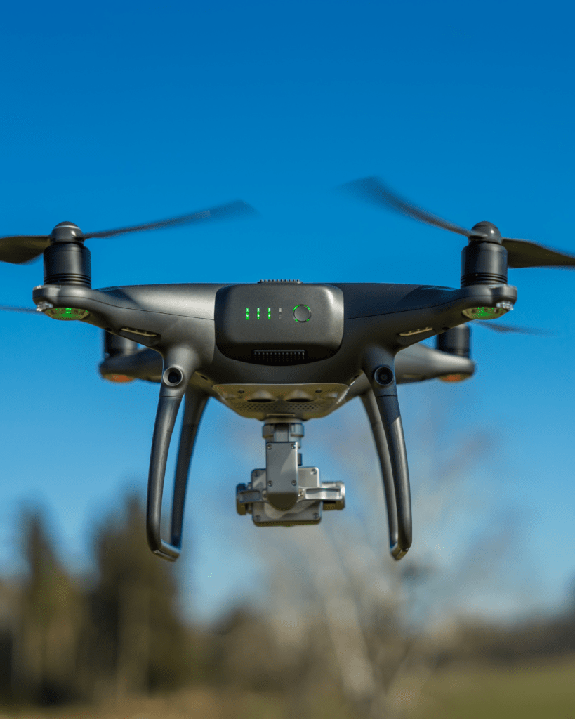
How AI & Machine Learning Enhance Drone Data Processing
The integration of Artificial Intelligence (AI) and Machine Learning (ML) into drone technology has led to a significant transformation in how drones are used for data collection, analysis, and decision-making. At Two70°, we leverage these technologies to provide our clients with cutting-edge drone services that offer faster, more precise, and more efficient solutions. These advancements enable real-time insights and detailed analytics, enhancing everything from surveying to security applications. In this blog, we explore how AI and ML are reshaping drone
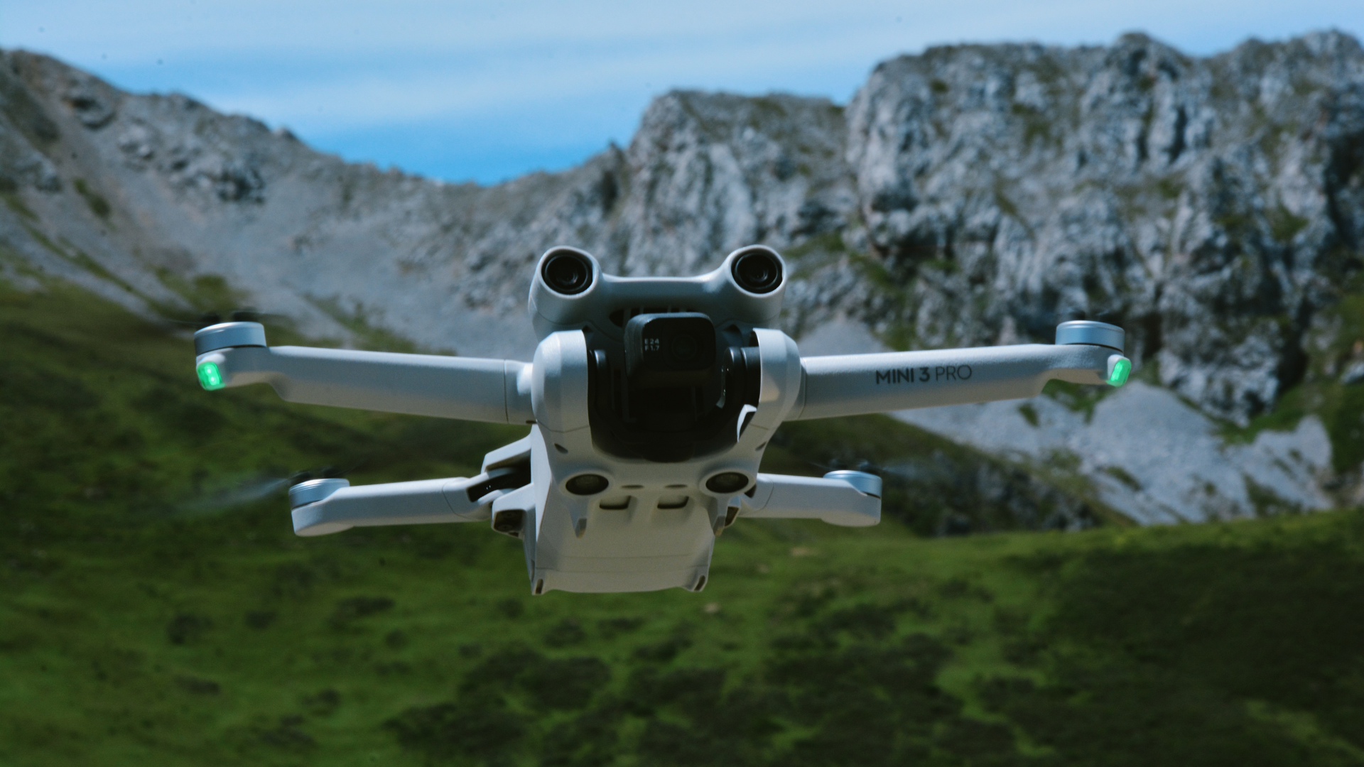
Top Drones for Construction & Surveying in 2025
The construction and surveying industries have come a long way from the days of manual site inspections, tripods, and painstaking measurements. Drones have become game-changers, bringing unprecedented accuracy, efficiency, and cost savings to professionals in these fields.
LiDAR vs Photogrammetry: Which is Best for Your Project?
In the world of drone surveying and mapping, choosing the right technology for your project can be daunting. Two common methods that stand out are LiDAR and photogrammetry. Both offer unique advantages and are tailored for specific use cases. This blog will explore the differences between LiDAR and photogrammetry, helping you determine which one is the best fit for your next project.
The Evolution of Drone Mapping: Past, Present & Future
Drone mapping has come a long way from its early military applications to the high-precision, AI-driven systems we see today. What once required a fleet of manned aircraft and expensive satellite imagery can now be done with a lightweight UAV equipped with cutting-edge sensors. As industries like agriculture, construction, and environmental conservation adopt drone mapping, the technology is evolving at an unprecedented pace. But how did we get here, and what does the future hold? Let’s explore the journey of
Drone Data Analysis, Processing & Reporting – The Backbone of Modern Aerial Insights
The Importance of Drone Data in Various Industries Drone technology has transformed industries across Australia, offering unparalleled data collection capabilities. Whether it’s a high-rise construction site in Sydney, a vast farmland in rural Victoria, or a mining operation in Western Australia, drones have become indispensable for efficiency and accuracy.
How Drone Technology Is Revolutionizing Surveying
The Evolution of Surveying Technology Surveying has always played a pivotal role in land development, construction, and infrastructure planning. It’s how professionals ensure that the land, resources, and built environments meet the required standards. The world of surveying, however, hasn’t always been the most technologically advanced. For years, surveyors worked with heavy tools like theodolites, levels, and total stations to measure land and map out areas for construction or analysis.
Why Drone Investments Fail: Real Insights from Two70
FAQ: Why So Many Drone Investments Failed Why have so...
Read MoreTwo70 Drone Delivery Predictions for 2025
FAQ: Curious About the Future of Drone Delivery? Will we...
Read MoreDrone Types Compared: Multi-Rotor to VTOL
Frequently Asked Questions What’s the best drone type for aerial...
Read MoreThe History and Future of Drones in Australia: A Revolution in Aerial Technology
Drones, also known as unmanned aerial vehicles (UAVs), have quickly transitioned from their military beginnings to becoming a vital part
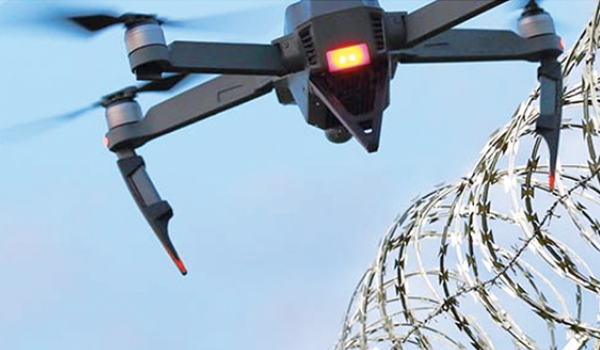
Enhance Your Asset Security with Two70° Drone Services
At Two70° Drone Survey and Services, we are excited to offer a cutting-edge solution for sites and asset security: drone-based
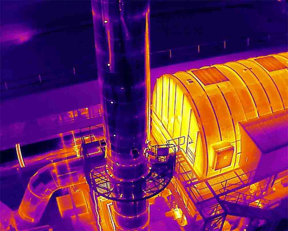
Seeing the Unseen: How Advanced Drones with Thermal Imaging Are Revolutionizing Surveys and Inspections
Here at Two70° Drone Survey and Services, we’re constantly pushing the boundaries of what’s possible with drone technology. Today, we’d

We Acquired CASA ReOC Operator Certificate: A Milestone in Professional Drone Operations
Why the CASA ReOC Certificate Matters We are thrilled to announce that Two70° Drone Survey and Services has recently acquired

The Importance of Using Enterprise Drones for Professional Projects
In today’s rapidly evolving world, drone technology has become an indispensable tool across various industries. While cheap entry-level drones may

Why Tier 1 Construction Companies Should Use Professional Drone Survey Operators
In the fast-evolving construction industry, the integration of advanced technologies is paramount to maintaining a competitive edge. Among these technologies,