Blog
5 Ways Aerial Photography Can Grow Your Real Estate Business
Want to stand out in the competitive real estate industry? High-quality visuals are no longer just an option—they’re a necessity. Yet, many still overlook their true value. It’s time for your business to integrate aerial photography to attract more buyers and gain a competitive edge. FAQ Why should real estate professionals consider aerial photography?It offers a unique perspective that traditional photography can’t achieve. Can aerial images really help sell properties faster?They play a key role in attracting more interest and
What Does GSD Mean in Drone Photogrammetry Survey?
FAQ – Curious About GSD? Here’s What You Need to Know! Why does GSD even matter in drone surveys? Imagine looking at a blurry map versus a crisp, high-definition one. GSD determines how sharp and detailed your drone imagery is! How does GSD affect the accuracy of drone mapping? A smaller GSD means more detail—so you can spot a tiny crack in a road rather than just seeing a grey blur. Does flying higher or lower change the GSD? Absolutely!
How Drones Are Used for Disaster Response & Damage Assessment
FAQ How do drones enhance disaster response efforts? Drones provide rapid aerial assessments, real-time data, and access to hazardous areas, significantly improving the efficiency and safety of disaster response operations. Can drones operate in all disaster conditions? While drones are versatile, their operation can be limited by extreme weather conditions such as heavy rain, strong winds, or dense smoke. What types of data can drones collect during disasters? Drones can capture high-resolution imagery, thermal imaging, and LiDAR data, aiding in
Top 10 Drone Surveying Tips and Tricks
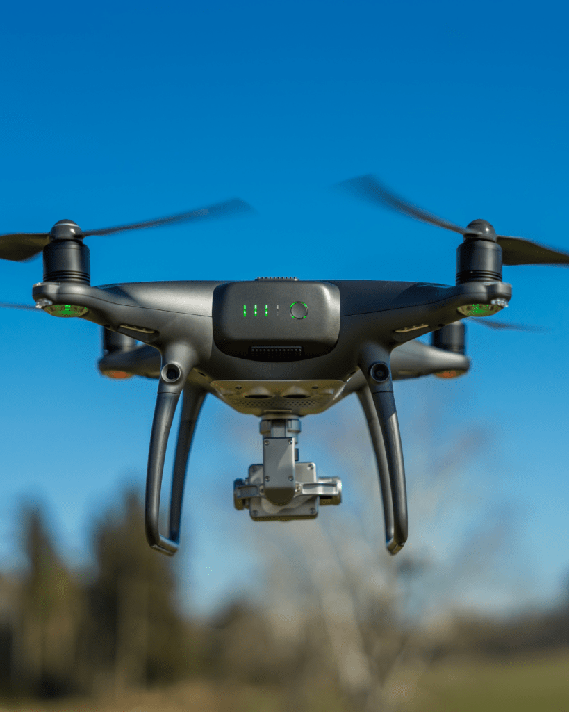
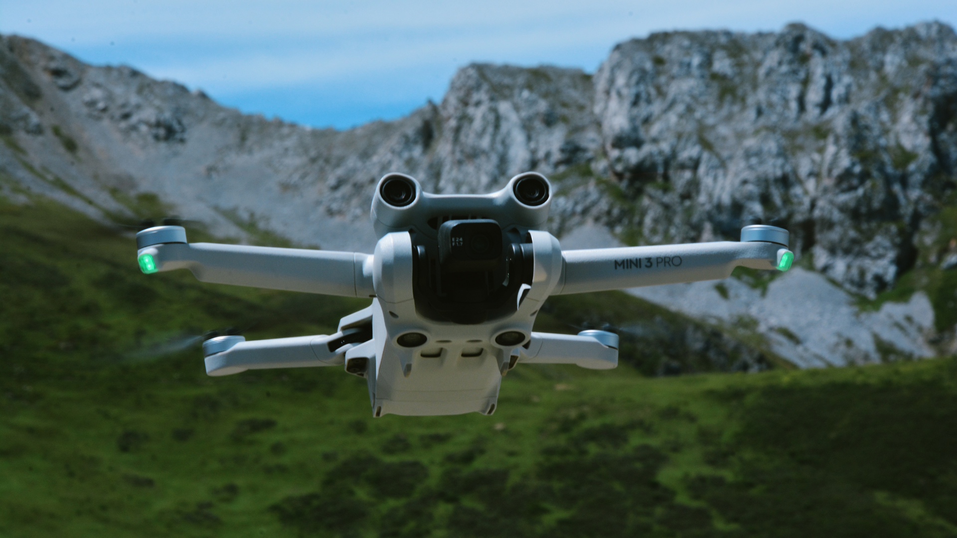
Understanding Drone Specifications for Surveying Choosing the right drone is critical for precise mapping and data collection. When selecting a drone for surveying, consider the following key factors: Camera quality – High-resolution cameras improve mapping accuracy. RTK/PPK capability – These enhance GPS accuracy for better geospatial data. Battery life – Longer flights reduce the need for frequent landings and take-offs. Best Drone Models for Aerial Surveying Some of the best drone models for aerial surveying include: DJI Phantom 4 RTK
Common Challenges in Drone Surveying & How to Overcome Them
Drone technology has revolutionised surveying, making it faster, safer, and more efficient. UAVs can collect high-resolution geospatial data, monitor construction progress, and assess large-scale landscapes with precision. However, drone surveying comes with its own set of challenges. From navigating complex airspace regulations to overcoming environmental and technical limitations, UAV operators must address multiple hurdles to ensure efficient and accurate drone surveying. In this guide, we explore the most common challenges in drone surveying and provide expert solutions to overcome them,
How to Get High Accuracy on Drone Mapping
High-accuracy drone mapping is essential for industries that require precise geospatial data. From construction and agriculture to environmental monitoring and infrastructure projects, precision is crucial for making informed decisions. At Two70°, we specialize in drone mapping solutions that deliver pinpoint accuracy for your projects. As the demand for high-quality geospatial data increases, industries are turning to drone technology for fast, cost-effective, and highly accurate mapping solutions. Drones eliminate many challenges associated with traditional surveying techniques, making them an invaluable tool
Why Drone Investments Fail: Real Insights from Two70
FAQ: Why So Many Drone Investments Failed Why have so...
Read MoreTwo70 Drone Delivery Predictions for 2025
FAQ: Curious About the Future of Drone Delivery? Will we...
Read MoreDrone Types Compared: Multi-Rotor to VTOL
Frequently Asked Questions What’s the best drone type for aerial...
Read MoreTop 20 Global Drone Companies in 2025
FAQ – Before You Dive In Which drone company is...
Read MoreHow AI & Machine Learning Enhance Drone Data Processing
The integration of Artificial Intelligence (AI) and Machine Learning (ML) into drone technology has led to a significant transformation in

Top Drones for Construction & Surveying in 2025
The construction and surveying industries have come a long way from the days of manual site inspections, tripods, and painstaking

LiDAR vs Photogrammetry: Which is Best for Your Project?
In the world of drone surveying and mapping, choosing the right technology for your project can be daunting. Two common

The Evolution of Drone Mapping: Past, Present & Future
Drone mapping has come a long way from its early military applications to the high-precision, AI-driven systems we see today.

Drone Data Analysis, Processing & Reporting – The Backbone of Modern Aerial Insights
The Importance of Drone Data in Various Industries Drone technology has transformed industries across Australia, offering unparalleled data collection capabilities.

How Drone Technology Is Revolutionizing Surveying
The Evolution of Surveying Technology Surveying has always played a pivotal role in land development, construction, and infrastructure planning. It’s
