")
The Importance of Drone Data in Various Industries
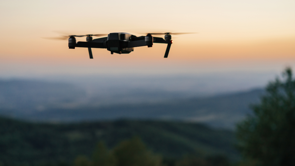
Drone technology has transformed industries across Australia, offering unparalleled data collection capabilities. Whether it’s a high-rise construction site in Sydney, a vast farmland in rural Victoria, or a mining operation in Western Australia, drones have become indispensable for efficiency and accuracy.
Construction & Infrastructure
Drones provide real-time aerial views of construction sites, allowing project managers to track progress, identify issues, and enhance safety. Through photogrammetry, drones generate highly accurate 3D models that assist engineers in planning and decision-making.
Agriculture & Environmental Monitoring
Australian farmers are leveraging drones to optimise crop health, soil conditions, and irrigation. Multispectral and thermal sensors detect plant stress, while AI-powered analytics guide farmers on the best actions to maximise yield.
Mining & Resources
Mining operations use drones for stockpile calculations, site surveys, and safety inspections. High-precision LiDAR scanning allows resource companies to map terrain with extreme accuracy, reducing the need for manual surveys.
Disaster Management & Emergency Response
From bushfire mapping to flood assessment, drones provide real-time data during emergencies. First responders use thermal imaging drones to locate missing persons, while AI-driven models predict disaster impact zones.
How Drone Data is Captured and Collected
Before analysis and processing, drones must first gather high-quality data. This step varies depending on the industry, drone type, and intended use.
Types of Drone Sensors
Drones collect data through various sensors, including:
• RGB Cameras – Standard optical cameras for high-resolution imagery.
• LiDAR Sensors – Generate precise 3D models using laser pulses.
• Multispectral & Hyperspectral Sensors – Capture different light spectrums to assess vegetation health and detect minerals.
• Thermal Cameras – Used in infrastructure inspections, firefighting, and security.
Real-Time vs. Post-Flight Data Collection
Some drones transmit live data to operators, enabling immediate decision-making. Others store raw data for post-flight processing, allowing in-depth analysis using specialised software.
Drone Data Processing – Turning Raw Data into Actionable Insights
Raw drone data is complex and requires specialised processing to convert it into usable information.
Photogrammetry and 3D Mapping
Photogrammetry software stitches together overlapping drone images to create detailed 2D maps and 3D models. This technique is widely used in construction, mining, and land surveying.
LiDAR Processing for High-Precision Data
LiDAR-equipped drones generate detailed topographic maps, even in heavily forested or obscured environments. The data undergoes processing to remove noise and generate accurate terrain models.
AI and Machine Learning in Drone Data Processing
Modern software incorporates AI to analyse drone data efficiently. AI detects patterns, classifies objects, and provides predictive analytics, helping industries automate decision-making.
Reporting – Transforming Processed Data into Meaningful Outputs
After processing, data must be compiled into actionable reports tailored to the industry’s needs.
Deliverables for Different Industries
• Construction – Progress tracking reports, 3D site models, and as-built surveys.
• Agriculture – Vegetation health reports, soil analysis, and irrigation maps.
• Mining – Stockpile volume calculations, terrain models, and safety assessments.
• Emergency Services – Disaster impact reports, real-time situational awareness maps.
Software & Platforms for Reporting
Popular platforms like DroneDeploy, Pix4D, and Propeller Aero provide automated data processing and reporting, allowing businesses to generate insights quickly.
Challenges and Considerations in Drone Data Analysis & Reporting
Data Accuracy & Calibration
Proper sensor calibration is crucial for precise data collection. External factors like weather, altitude, and GPS accuracy can affect results.
Compliance & Legal Considerations in Australia
Australia’s drone regulations, managed by CASA (Civil Aviation Safety Authority), require commercial drone operators to adhere to strict guidelines. Data privacy laws also dictate how drone imagery is collected and used.
Storage & Data Security
With drones generating vast amounts of data, secure cloud storage and encryption protocols are essential to protect sensitive information.
The Future of Drone Data Analysis in Australia
As drone technology advances, AI-driven analytics, automation, and real-time cloud processing will revolutionise industries further. The Australian market is witnessing a rapid adoption of drone-based solutions, making data analysis a key driver of efficiency and productivity.
Conclusion
Drone data analysis, processing, and reporting have revolutionised how industries operate across Australia. From infrastructure to agriculture, businesses are leveraging drones to improve efficiency, reduce costs, and gain deeper insights. With AI and automation playing a growing role, the future of drone technology is brighter than ever.