FAQ – Curious About GSD? Here’s What You Need to Know!
Why does GSD even matter in drone surveys?
Imagine looking at a blurry map versus a crisp, high-definition one. GSD determines how sharp and detailed your drone imagery is!
How does GSD affect the accuracy of drone mapping?
A smaller GSD means more detail—so you can spot a tiny crack in a road rather than just seeing a grey blur.
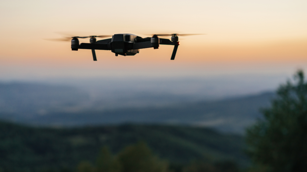
Does flying higher or lower change the GSD?
Absolutely! The higher a drone flies, the less detail it captures. Lower flights = sharper images.
What’s the best GSD for my project?
It depends! If you’re mapping a farm, a slightly higher GSD might be fine. But if you need precise land measurements, you’ll want the lowest GSD possible.
How do professionals calculate GSD?
There’s a handy formula (don’t worry, we’ll explain it soon!) that factors in altitude, camera specs, and image resolution.
Why Should You Care About GSD?
If you’ve ever looked at a Google Maps satellite image and wondered why some areas appear sharper than others, the answer lies in Ground Sample Distance (GSD). It’s a fancy term for something simple—how much ground is represented by a single pixel in an aerial image.
For drone surveyors, understanding GSD is the difference between accurate, high-resolution maps and blurry, useless images. But don’t worry—you don’t need to be a tech geek to get this! We’ll break it down for you in plain English.
Understanding GSD – The Basics
What is Ground Sample Distance (GSD)?
Think of GSD as the zoom level of a drone’s camera. A low GSD (like 1 cm per pixel) means the image is super detailed—you could measure the width of a crack in a pavement. A high GSD (like 20 cm per pixel) means less detail—things start looking blocky.
Why is GSD So Important in Drone Mapping?
Precision matters! If you’re a construction company planning a project or a government agency monitoring land erosion, you need accurate data. GSD ensures that measurements taken from drone images are trustworthy and real-world accurate.
What Affects GSD?
1. Flight Altitude – Higher Isn’t Always Better!
- The higher a drone flies, the bigger the GSD, meaning less detail in your images.
- The lower the drone, the smaller the GSD, meaning crystal-clear details.
- But flying too low takes longer to map large areas, so surveyors find a balance!
2. Camera and Sensor – Not All Drones Are Equal!
Your drone’s camera specs make a huge difference.
- A high-end sensor with a longer focal length gives sharper images.
- A low-resolution camera? Say goodbye to detailed mapping!
3. Image Resolution – More Pixels, More Detail!
Ever tried zooming in on a low-quality photo? It gets pixelated fast.
- The higher the image resolution, the lower the GSD and the better the detail.
How to Calculate GSD Like a Pro
There’s a formula for GSD, but don’t worry, you won’t need to memorize it.
Let’s break it down:
- A drone flying at 100m altitude with a camera sensor width of 13.2mm, a focal length of 8.8mm, and an image width of 4000 pixels will have a GSD of 0.375 cm per pixel.
- Translation? Each pixel in the image represents less than half a centimetre of real-world ground—amazing detail!
Why GSD Matters for Different Industries
High GSD vs. Low GSD – Which One is Better?
- High GSD (Less Detail): Good for large-area surveys where extreme precision isn’t needed (e.g., tracking deforestation).
- Low GSD (More Detail): Perfect for jobs needing pinpoint accuracy, like construction site planning or city infrastructure mapping.
Real-World Examples
- Mining Surveys: Need super-detailed maps of excavation sites—low GSD is essential.
- Agriculture: Farmers may not need extreme detail, so a higher GSD works fine for monitoring crops.
- Disaster Response: Emergency crews need clear, high-detail images to assess damage—low GSD is a must.
Why You Should Choose Two70° Drone Survey & Services
At Two70°, we don’t just fly drones—we deliver precise, reliable, and accurate survey data that businesses can actually use.
✅ Industry Experts – We know the science behind GSD and ensure every project gets the right level of detail.
✅ Top-of-the-Line Equipment – Our drones are fitted with high-resolution cameras to give you the clearest possible imagery.
✅ Customised Solutions – Whether you need a city-wide map or a super-detailed construction site survey, we adjust our GSD to fit your needs.
✅ Australian-Owned & Operated – We understand Aussie landscapes better than anyone else!
Conclusion – GSD Matters More Than You Think!
Understanding GSD isn’t just for surveyors or engineers—it’s the backbone of accurate drone mapping. Whether you’re in construction, mining, agriculture, or environmental monitoring, getting the right level of detail is crucial.
If you need precise, high-quality drone mapping, Two70° has you covered. We tailor our surveys to your specific needs, ensuring you get the best data possible.
Call to Action – Let’s Talk Drones!
Ready to take your drone mapping to the next level? Contact Two70° Drone Survey & Services today!