Drone technology has revolutionised surveying, making it faster, safer, and more efficient. UAVs can collect high-resolution geospatial data, monitor construction progress, and assess large-scale landscapes with precision. However, drone surveying comes with its own set of challenges. From navigating complex airspace regulations to overcoming environmental and technical limitations, UAV operators must address multiple hurdles to ensure efficient and accurate drone surveying.
In this guide, we explore the most common challenges in drone surveying and provide expert solutions to overcome them, ensuring successful drone-based mapping and inspection operations.
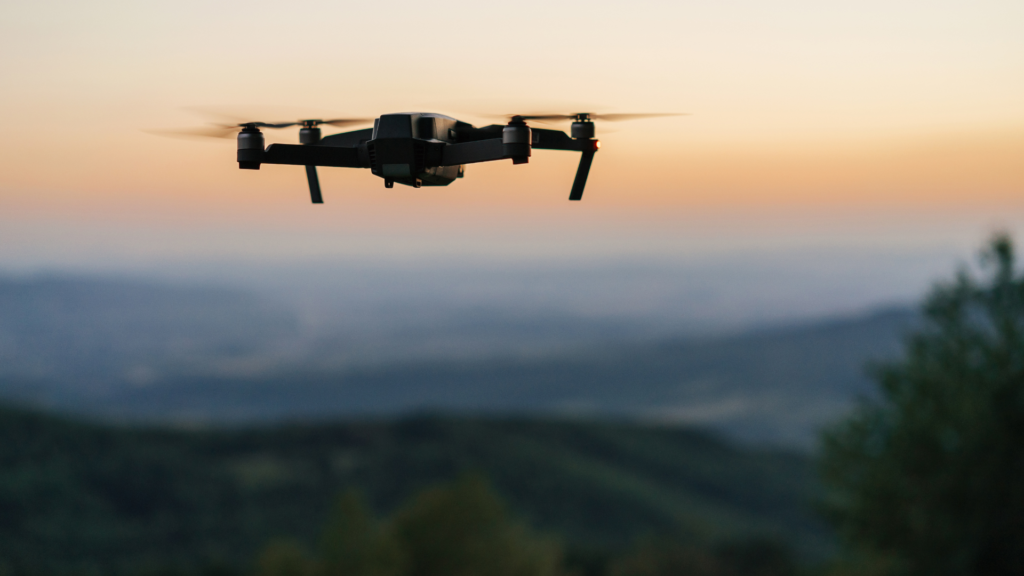
The Growing Importance of Drone Technology in Surveying
Drones, or UAVs (Unmanned Aerial Vehicles), have transformed industries such as construction, agriculture, and infrastructure mapping. Their ability to collect high-resolution geospatial data in real-time has made them indispensable in modern surveying.
Some key benefits of drone surveying include:
- Faster Data Collection – UAVs cover large areas quickly, reducing survey times significantly.
- Improved Safety – Drones eliminate the need for personnel to work in hazardous environments.
- Cost-Effective Solutions – Compared to traditional surveying methods, drones reduce operational costs.
- High Accuracy & Detail – Equipped with LiDAR and high-resolution cameras, drones capture detailed topographical data.
However, despite these advantages, the widespread adoption of drone technology faces several operational and regulatory challenges.
Common Challenges in Drone Surveying
Air Traffic Management & UAV Integration
With the increasing number of drones in the sky, integrating UAVs safely into controlled airspace is a growing concern. Without proper air traffic management, drones pose risks to manned aircraft and critical infrastructure.
Challenges include:
- The risk of mid-air collisions with aircraft and other UAVs.
- The lack of a centralised drone traffic management system in many regions.
- Difficulties in coordinating drone flights in busy urban environments.
Navigating Drone Regulations
Drone regulations differ across countries and states, making compliance a significant challenge. Operators must adhere to flight restrictions, licensing requirements, and privacy laws.
Key regulatory hurdles:
- Obtaining the required permits and licenses.
- Restrictions on flying over certain areas, such as airports, military zones, or national parks.
- Privacy concerns and compliance with data protection laws.
Ensuring Drone Safety & Risk Mitigation
Industrial drones must operate safely to prevent accidents and damage. Risks include mid-air collisions, signal interference, and software failures.
Common safety concerns:
- GPS signal loss and navigation failures.
- Unexpected mechanical or battery failures.
- Limited awareness of drone presence by other aerial operators.
Environmental & Weather-Related Challenges
Strong winds, rain, and extreme temperatures can affect UAV performance. Poor weather conditions impact flight stability and data accuracy.
Challenges include:
- High winds that make it difficult to maintain stable flight.
- Rain and moisture damaging drone components.
- Extreme heat or cold affecting battery performance and drone sensors.
Technical Limitations & Battery Life
One of the biggest challenges in drone surveying is battery life. Most drones have a limited flight time, restricting their ability to complete long surveys.
Technical hurdles include:
- Short battery life requiring frequent recharges or battery swaps.
- Limited payload capacity affecting the quality of surveying equipment onboard.
- GPS and communication interference in remote locations.
Data Accuracy & Processing Issues
Surveying with drones generates massive amounts of data that require precise processing. Poorly calibrated sensors or inadequate software can lead to errors in mapping and measurements.
Challenges include:
- Data inconsistencies due to inaccurate sensor calibration.
- Long processing times for large datasets.
- The need for advanced software and AI to automate data analysis.
How to Overcome These Drone Surveying Challenges
Advanced Air Traffic Management Solutions
Implementing AI-driven air traffic management systems ensures safe drone operations. Companies like Honeywell and NASA are working on UAV traffic management (UTM) solutions to prevent collisions and optimise airspace use.
Solutions include:
- Real-time airspace monitoring for drones.
- Automated collision-avoidance technology.
- Centralised databases for tracking registered UAVs.
Compliance with Drone Regulations
To operate drones legally and efficiently, surveyors must stay updated with local aviation laws. Working with regulatory bodies can help avoid fines and restrictions.
Best practices for compliance:
- Regularly check local drone laws and update operational procedures.
- Apply for necessary permits before conducting aerial surveys.
- Use geofencing technology to prevent drones from entering restricted areas.
Implementing Best Practices for Drone Safety
Following strict safety protocols can significantly reduce the risks associated with drone operations.
Best practices for drone safety:
- Conduct thorough pre-flight inspections.
- Train drone pilots in emergency protocols.
- Use drones with obstacle detection and automated landing features.
Adapting to Environmental Conditions
Weather conditions can significantly impact UAV performance, but strategic planning and durable equipment can help mitigate these risks.
Solutions for weather challenges:
- Schedule flights based on real-time weather forecasts.
- Use drones designed for extreme conditions (e.g., waterproof UAVs).
- Deploy drones with stabilisation technology to withstand high winds.
Enhancing UAV Performance & Battery Efficiency
Extended battery life and efficient power management are crucial for drone surveying.
Ways to improve drone battery performance:
- Use high-capacity industrial drone batteries.
- Carry extra battery packs and use rapid charging stations.
- Integrate solar charging options for prolonged field operations.
Improving Data Collection & Processing with AI
Artificial intelligence and cloud-based software enhance data accuracy by automating data analysis and reducing human error.
Solutions include:
- AI-driven image and video analysis for accurate mapping.
- Cloud-based storage and processing for large datasets.
- High-resolution sensors with real-time data correction algorithms.
The Future of Industrial Drones in Surveying
The future of drone surveying lies in AI integration, autonomous navigation, and improved sensor technology.
Key trends in drone technology:
- AI-powered decision-making: Drones will become smarter, allowing for real-time problem-solving.
- Autonomous drones: Fully automated UAVs will reduce the need for manual piloting.
- Advanced LiDAR systems: Improved sensors will provide more accurate 3D mapping.
- Better battery technology: Innovations in energy storage will extend flight durations.
As drone surveying technology continues to evolve, adopting these innovations will be crucial for staying ahead in the industry.
Conclusion
Drone surveying presents unique challenges, but with the right strategies, these obstacles can be overcome. By implementing advanced air traffic management, complying with drone regulations, and leveraging AI-driven data processing, surveying with drones can become more accurate and efficient.
At Two70°, we are committed to staying at the forefront of drone technology advancements, ensuring precision, reliability, and safety in UAV surveying.
Frequently Asked Questions (FAQ)
What is the biggest challenge in drone surveying?
Air traffic management and regulatory compliance are among the top challenges in drone surveying.
How can I improve drone surveying accuracy?
Using high-resolution cameras, AI-powered data processing, and precise GPS correction enhances accuracy.
Are there solutions for extending drone battery life?
Yes, industrial drones with improved battery technology, solar charging options, and swappable battery packs help extend flight time.
Call to Action (CTA)
Want to optimise your drone surveying operations? Two70° offers industry-leading UAV solutions for precision surveying. Visit Two70° today!