ABOUT US
Welcome to Two70° Drone services - About uS
Welcome to Two70° Drone Survey and Services, a CASA certified Operator (ReOC). Established in November 2022 by a seasoned helicopter G1 flight instructor and long-time IT professional, we recognised the growing demand for efficient and cost-effective aerial surveys, our founder's vision bridges aviation, business, and technology.
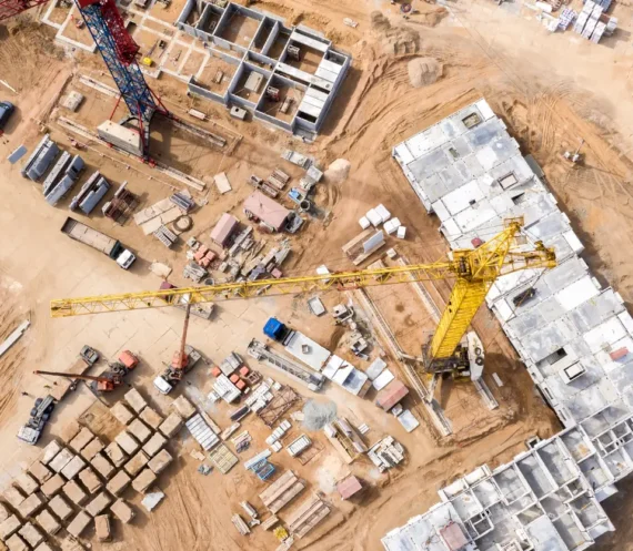
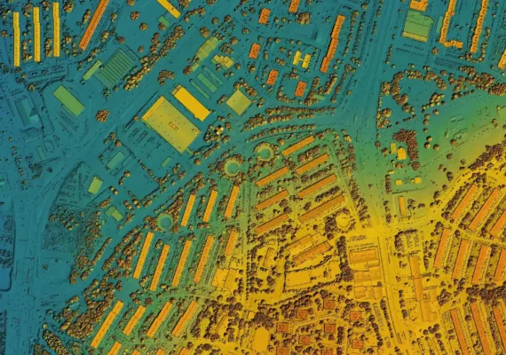
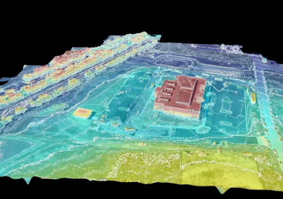
At Two70° Drone Survey and Services, we combine innovation with precision, using state-of-the-art drone technology to deliver the most accurate aerial data. We provide high-resolution images, 2D maps, 3D models and LiDAR, enabling detailed terrain visualisation, land surveys, asset inspections, and environmental monitoring.
At Two70 ° Drone Survey and Services, we pride ourselves on redefining project pace, safety, and efficiency. Our unwavering commitment ensures that every project requirement is not just met, but surpassed. We leverage the latest drone technology and advanced software to propel your projects to new heights.


How can we help?

Join us on a journey where your visions soar to unprecedented heights with Two70° Drone Survey and Services.
