Ground Sampling Distance (GSD) is a crucial metric in the world of drone surveying, defining the distance between the centres of two consecutive pixels on the ground. In simpler terms, GSD indicates the level of detail that can be captured in an image taken by a drone. For example, a GSD of 5 cm means that each pixel in the image represents a 5 cm by 5 cm area on the ground.
Why is GSD Important?
GSD directly impacts the quality and accuracy of the data collected. The smaller the GSD, the higher the resolution of the image, allowing for more precise measurements and detailed analysis. This is particularly important in various applications such as construction site monitoring, topographic mapping, and infrastructure inspection, where accuracy is paramount.
How Two70° Drone Survey and Services Optimizes GSD
At Two70° Drone Survey and Services, we understand that different projects require different levels of detail. We work closely with our clients to determine the optimal GSD for each deliverable. Our process involves:
- Project Assessment: Understanding the specific needs and objectives of the client’s project.
- Technical Evaluation: Analyzing the site conditions and the required level of detail to recommend the most suitable GSD.
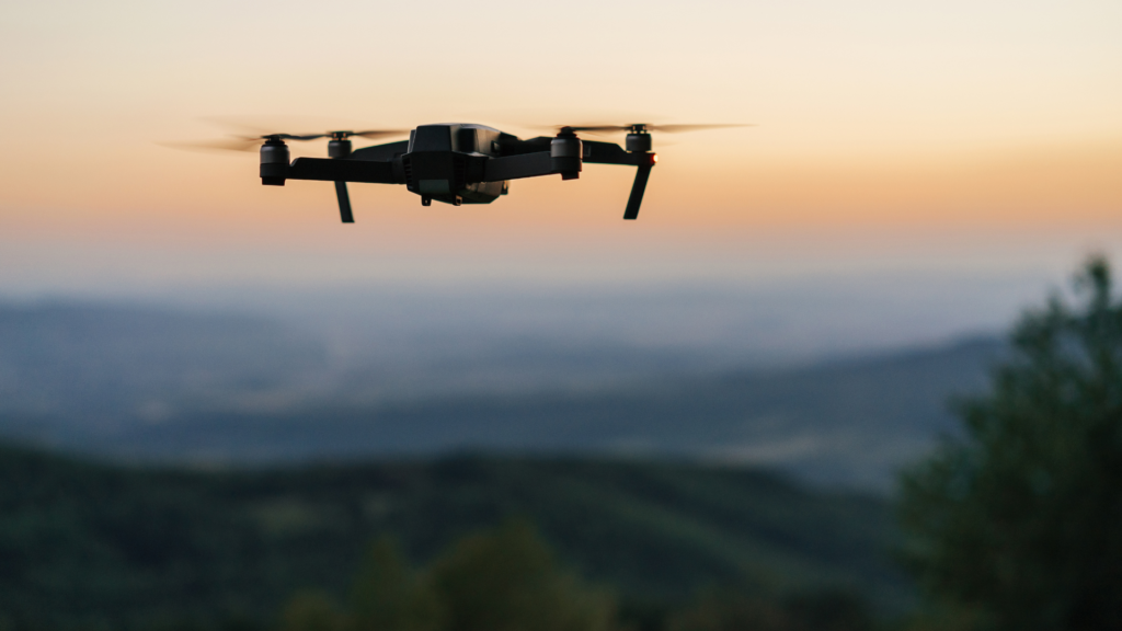
- Choosing the Right Drone: Utilizing high-end, enterprise-grade drones ensures better GSD and overall image quality. Unlike off-the-shelf consumer drones, enterprise drones are equipped with advanced sensors and high-resolution cameras that can capture finer details and offer more stable and reliable performance.
- Customized Solutions: Utilizing our high-end drones equipped with advanced sensors to achieve the desired GSD. We ensure that our equipment and flight plans are tailored to meet the precise requirements of each project.
- Client Collaboration: Engaging with our clients throughout the process to ensure their expectations are met and delivering high-quality, actionable data.
Achieving the Desired GSD
To achieve the desired GSD, several factors need to be considered:
- Flight Altitude: Lowering the drone’s flight altitude reduces the GSD, resulting in higher resolution images. We carefully plan the flight paths to ensure the appropriate altitude is maintained throughout the survey.
- Camera Quality: Using high-resolution cameras helps achieve a finer GSD. Our enterprise drones are equipped with top-tier cameras that capture high-quality images.
- Sensor Selection: Different sensors have varying capabilities. We select the best sensor for the specific application to ensure optimal GSD.
- Overlap and Sidelap: Ensuring sufficient overlap and sidelap between images helps in achieving better GSD and more accurate stitching of images in post-processing.
- Stability and Speed: Maintaining a stable flight and appropriate speed is essential to prevent motion blur and ensure clear images. Our drones are equipped with advanced stabilization systems to achieve this.
Benefits of Optimal GSD Selection
- Enhanced Detail and Accuracy: Ensures the highest quality of data for precise analysis and decision-making.
- Cost Efficiency: Balances the need for detail with the costs associated with higher resolution imaging.
- Versatility: Allows for a wide range of applications, from detailed structural inspections to large-scale topographic surveys.
The Role of Enterprise-Grade Drones in Achieving Better GSD
Choosing the right drone is critical to achieving an optimal GSD. Enterprise-grade drones offer several advantages over consumer-grade, off-the-shelf drones:
- Superior Camera Quality: Equipped with high-resolution cameras and advanced sensors, enterprise drones capture finer details and more accurate data.
- Enhanced Stability: Enterprise drones are designed to provide stable flight and consistent performance, which is crucial for capturing high-quality images.
- Advanced Features: Features like RTK (Real-Time Kinematic) GPS provide centimeter-level accuracy, essential for precise measurements and mapping.
- Reliability and Durability: Built to withstand challenging conditions, enterprise drones ensure reliable operation in various environments, reducing the risk of data loss.
By prioritizing the right GSD for each project and choosing the appropriate drone, Two70° Drone Survey and Services ensures that our clients receive the most accurate and reliable data, helping them achieve their project goals efficiently and effectively. Whether it’s for creating detailed 2D or 3D models, conducting thermal inspections, or any other surveying needs, our commitment to quality and precision remains unwavering.
Contact us today to learn more about how we can tailor our services to meet your specific requirements and deliver the best possible outcomes for your projects.