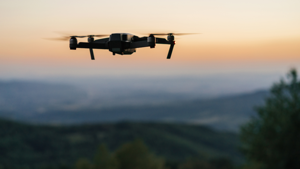
In the realm of drone surveying, two primary technologies dominate the field: Photogrammetry and LiDAR (Light Detection and Ranging). Both have unique strengths, costs, and deliverables, making them suitable for different use cases. At Two70° Drone Survey and Services, we leverage both technologies to provide our clients with the most accurate and detailed data possible. In this blog post, we’ll explore the key differences between Photogrammetry and LiDAR, along with their respective costs and applications.
Photogrammetry
Technology
Photogrammetry involves capturing multiple overlapping photographs from different angles and using software to create 3D models or maps. Drones equipped with high-resolution cameras fly over the survey area, taking images at regular intervals. These images are then processed to produce accurate 3D representations of the terrain or objects.
Costs
Photogrammetry tends to be more cost-effective compared to LiDAR. The equipment required—primarily high-resolution cameras and drones—is less expensive than LiDAR sensors. Additionally, photogrammetry software is often more accessible and easier to use, reducing training costs.
Deliverables
The deliverables from photogrammetry include high-resolution 3D models, orthomosaic maps, and digital surface models (DSMs). These outputs are particularly useful for visual inspections, volumetric measurements, and site documentation.
Use Cases
- Construction Monitoring: Regular updates on the progress of construction sites.
- Agriculture: Crop health monitoring and land mapping.
- Urban Planning: Creating detailed maps of urban areas for planning and development.
- Archaeology: Documenting excavation sites and historical landmarks.
LiDAR
Technology
LiDAR technology uses laser pulses to measure distances to the Earth’s surface. A drone equipped with a LiDAR sensor emits thousands of laser pulses per second. When these pulses hit an object or the ground, they bounce back to the sensor, providing precise distance measurements. This data is then processed to create detailed 3D point clouds.
Costs
LiDAR systems are generally more expensive than photogrammetry setups. The high cost of LiDAR sensors and the sophisticated software required to process the data contribute to the overall higher expense. However, the accuracy and detail provided by LiDAR can justify the investment for specific applications.
Deliverables
LiDAR deliverables include highly accurate 3D point clouds, digital elevation models (DEMs), and digital terrain models (DTMs). LiDAR can penetrate vegetation and provide ground-level data, making it invaluable for certain types of analysis.
Use Cases
- Forestry: Measuring tree height, canopy structure, and biomass.
- Infrastructure: Inspecting power lines, pipelines, and other critical infrastructure.
- Flood Modeling: Creating accurate models of flood plains and assessing flood risks.
- Mining: Detailed terrain analysis and volumetric measurements of stockpiles.
Choosing the Right Technology
The choice between photogrammetry and LiDAR depends on the specific needs of the project. Photogrammetry is ideal for projects requiring high-resolution visual data and where cost is a significant consideration. On the other hand, LiDAR is the go-to choice for projects needing precise topographic information, especially in vegetated areas or where ground detail is critical.
At Two70° Drone Survey and Services, we help our clients choose the best technology for their needs. Whether it’s the cost-effective and detailed imagery of photogrammetry or the unparalleled accuracy of LiDAR, we ensure the highest quality deliverables for every project.
Contact us to learn more about how our advanced drone surveying technologies can benefit your next project.