In the rapidly evolving world of technology, drones have revolutionised the way we conduct surveys. From mapping large terrains to inspecting critical infrastructure, drones offer unparalleled precision and efficiency. However, it’s crucial to understand that not all drone services are created equal. Engaging an experienced drone company for your surveying needs is vital for several reasons.
The Professional Edge
Drone surveying is not just about flying a drone and capturing images. It’s a professional service that requires a deep understanding of aerodynamics, geospatial data, and advanced technology. Experienced drone operators undergo rigorous training and continuous education to stay ahead of industry advancements, ensuring top-notch survey results.
High-Standard Equipment
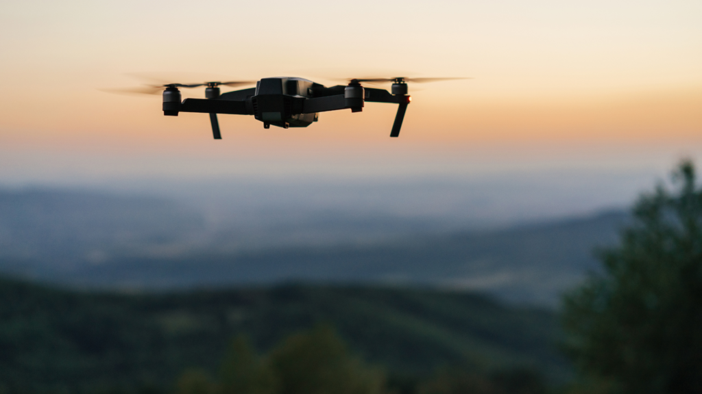
The quality of the equipment used in drone surveys cannot be overstated. Professional-grade drones are equipped with high-resolution cameras, LiDAR sensors, and GPS technology that ensure precise data collection. Cheap, off-the-shelf drones simply do not have the capabilities to deliver the accuracy required for survey-grade results.
For instance, high-end drones like the DJI Matrice series are renowned for their reliability and performance in complex survey environments. These drones are paired with state-of-the-art cameras and sensors that capture detailed data, even in challenging conditions.
The Sad Illusion of Easy Entry
There’s a common misconception that anyone can pass a basic drone course, purchase an inexpensive drone, and start a drone survey business. While this might be true for recreational flying, it’s far from adequate for professional surveying. The reality is that conducting a survey-grade drone operation involves much more than just flying a drone.
Professional drone surveys require meticulous planning, execution, and data analysis. This is where the experience and expertise of a professional company come into play. A comprehensive survey process includes pre-flight planning, data acquisition, and post-flight data processing. Each step is critical to ensuring the accuracy and reliability of the survey results.
No Compromise on Equipment
When it comes to drone surveys, equipment is something you cannot compromise on. Professional surveys demand the best tools and technology available. Investing in the highest quality drones, cameras, and sensors ensures the best possible results.
Advanced Processing Software and Computers
Capturing data is only half the battle. The real challenge lies in processing this data to generate meaningful insights. Advanced processing software such as Pix4D, DroneDeploy, and LiDAR360 are used to analyze and interpret the data collected during surveys. These tools enable the creation of detailed 3D models, topographic maps, and other valuable outputs that aid in decision-making.
Moreover, processing is carried out on high-performance computers equipped with powerful GPUs and ample RAM to handle large datasets efficiently. This ensures the delivery of accurate results quickly, helping clients stay on schedule and within budget.
Conclusion
Engaging an experienced drone company for your surveying needs is not just a matter of convenience; it’s a necessity. The precision, reliability, and insights provided by professional-grade drones and advanced processing tools are unmatched. Remember, when it comes to drone surveys, don’t settle for less. Choose a professional, experienced company that invests in the best equipment and employs skilled professionals to get the job done right.