Forest survey
Forest survey
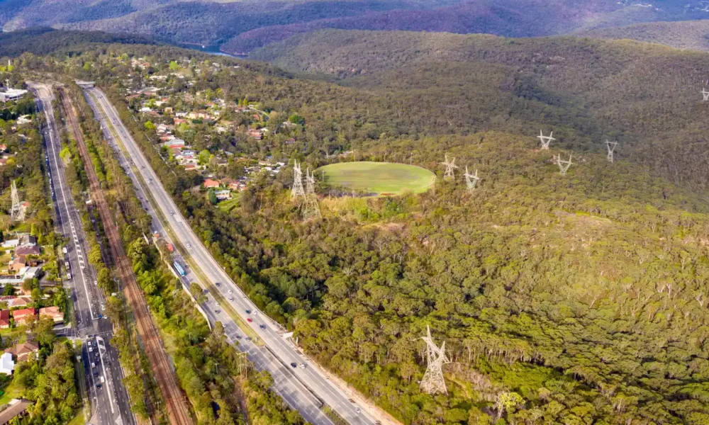
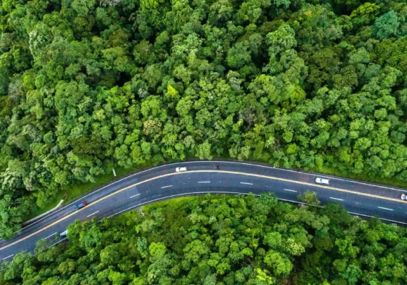
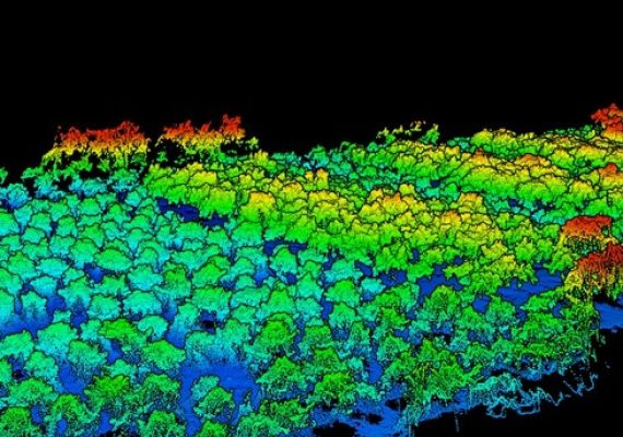
Utilizing advanced LiDAR technology, we provide fast, accurate, and comprehensive surveys of forested areas. Our drones capture high-resolution data to create detailed 2D/3D maps, Digital Terrain Models (DTM), and reports on tree locations, heights, and counts—all without setting foot on the ground.
This is a new survey we offer, which include:
- Survey of the forest without step on the forest
- LiDAR powered Survey
- Extract Terran topographic and DTM mapping
- Tree count and classifications


Why Forest Survey Service?
Fast and Efficient
Our drone-based surveys eliminate the need for on-foot surveys, allowing us to cover large forest areas in a fraction of the time.
Easy and Safe
Using drones, we can access even the most challenging terrains without endangering our team or disturbing the forest ecosystem.
Cost-Effective
By leveraging advanced technology, we reduce the need for extensive manpower and equipment, making our services more affordable.
How It Works

01
Drone Deployment
Our skilled operators deploy drones equipped with LiDAR to survey the forest area.
02
Data Collection
The drones collect high-resolution data, capturing every detail of the forest.
03
Data Processing
Our team processes the data to create accurate maps, models, and reports.
04
Delivery
We provide you with detailed deliverables, including maps, models, and comprehensive tree reports.
Benefits
Non-Invasive
Conduct surveys without setting foot in the forest, minimizing environmental impact.
Comprehensive Data
Get detailed information on forest topology and tree metrics.
Time-Saving
Complete surveys faster than traditional methods.
Cost-Effective
Save on labor and equipment costs.
Our Deliverables
2D/3D Mapping
Utilizing advanced LiDAR technology, we provide fast, accurate, and comprehensive surveys of forested areas. Our drones capture high-resolution data to create detailed 2D/3D maps, Digital Terrain Models (DTM), and reports on tree locations, heights, and counts—all without setting foot on the ground.
Digital Terrain Model (DTM)
Our LiDAR technology produces a precise Digital Terrain Model (DTM) that excludes trees, showcasing the terrain's topology.
Tree Reports
We deliver detailed reports on each tree, including its exact location, height, and total count in the surveyed area.
