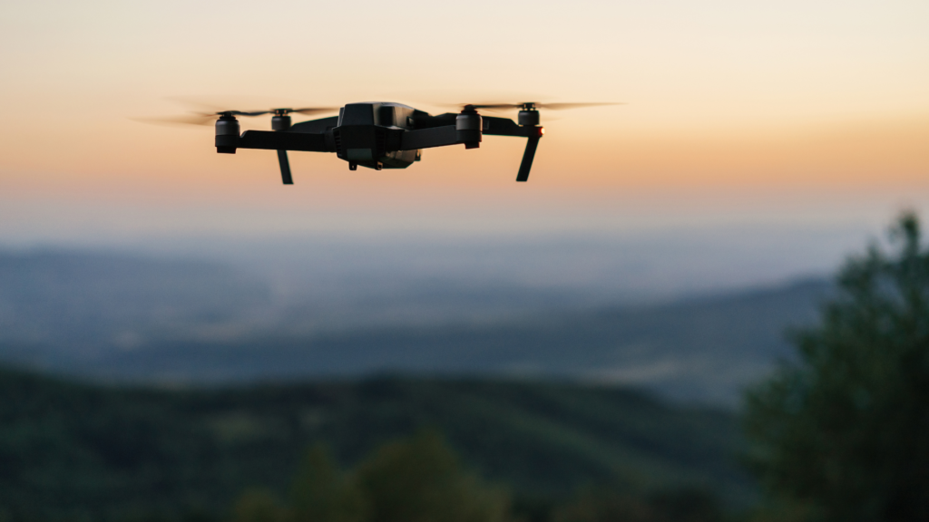
Discover the fascinating journey of construction site development. Explore the intricacies of capturing detailed photos, allowing you to zoom in and extract every necessary detail. Our drone survey services offer a unique perspective, providing you with tailored deliverables to meet your specific needs.
The image above captures the culmination of our surveying efforts, presenting a meticulously crafted replica of a construction site. Specifically tailored to our customer’s requirements, this deliverable serves a multitude of purposes:
– Replicating the current project progress with precision.
– Ensuring thorough site safety inspections.
– Providing accurate measurements to uphold project specifications.
– Facilitating budget management through comprehensive stockpile measurements and more.
But how does this remarkable 3D model come to fruition? Join us in this blog post as we uncover the intricate process behind creating these lifelike site replicas.
StepOne – Loading the Data
After completing the drone flight survey, our skilled pilot uploads both the captured photos and the drone flight data to our secure data storage. From there, our team of analysts meticulously review and examine the data to ensure its accuracy and completeness before proceeding to the next step. Once the data is verified, it is uploaded to our advanced processing software.
Upon uploading the data, our team gains immediate access to visualize the drone’s flight path and view the photos taken during the flight. This crucial step allows us to identify redundant or unnecessary photos and ensure that only the essential data is utilized for further analysis and processing. Our meticulous approach guarantees the highest-quality results for our clients.
StepTwo – Data Alignment
With the initial data collection phase accomplished, our team of skilled analysts is poised to commence the data processing stage to construct the replica module. However, before proceeding, it’s imperative to ensure that the coordinates are accurately aligned with the correct location and zone. For instance, for projects in Sydney, our team adheres to the GDA 2020 / MGA Zone 56S coordinate system to maintain precision and consistency throughout the process. By meticulously setting the coordinates to the right location and zone, we lay the foundation for creating a faithful replica of the site, ensuring that our clients receive the most accurate and reliable results possible.
StepThree – Replica
Once the chosen coordinate system is established and the data processing begins, it initiates a time-intensive process that demands specialized computers and significant processing power to execute effectively. However, the outcome of this meticulous process yields results akin to the visualization depicted below. From this comprehensive 3D modeling, our team can extract a myriad of deliverables tailored to meet the specific needs of our clients. For instance, we can generate detailed Digital Terrain Models (DTM) and various other outputs, providing our customers with the precise insights and data they require for their projects.
Summary
While the flight itself may seem brief when observed from the sidelines, the reality is that the entire process is quite intricate and demanding. Each step of the way requires hight level of attention to detail and precision from all involved parties. Any deviation or misalignment in the process can significantly impact the accuracy of the final product, which is something we strive to uphold at Two70° Drone Survey and Services. That’s why it’s crucial for us to be actively involved in every aspect of the operation and to collaborate closely with our clients. By fostering a culture of teamwork and collaboration, we can ensure that we deliver the level of accuracy and quality that our clients expect. If you’re interested in learning more about our process, please don’t hesitate to reach out to us. We’re here to help!