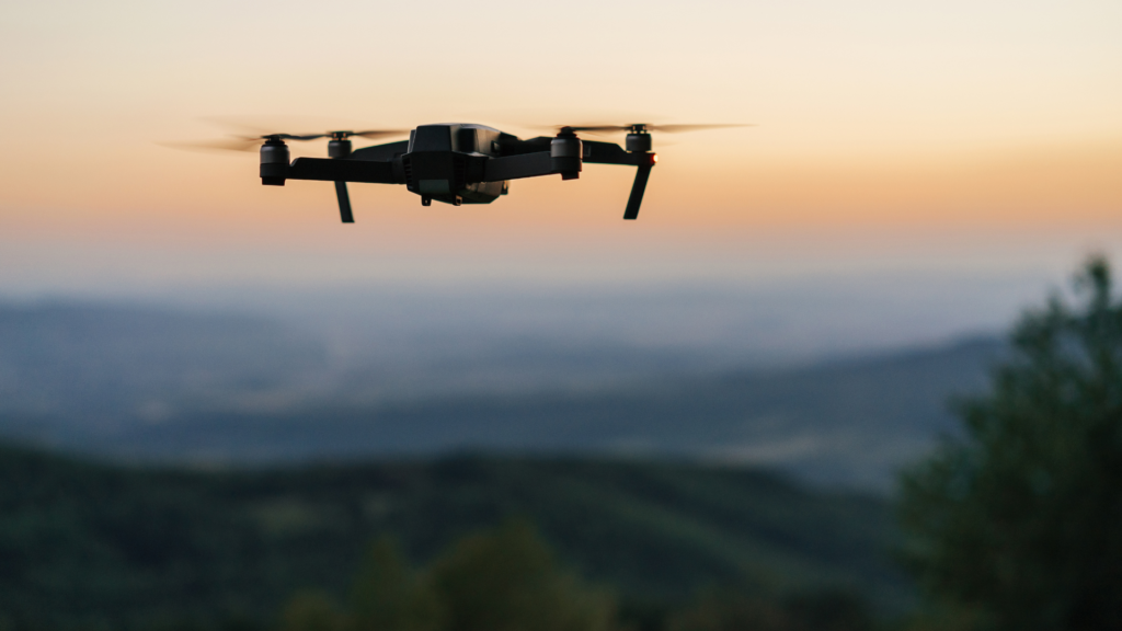
At Two70° Drone Survey and Services, we pride ourselves on listening to our customer’s needs and striving to provide innovative solutions. With this commitment in mind, we are thrilled to announce the latest addition to our fleet: the Matrice M350 RTK with LiDAR capability. Our goal is to continually invest in cutting-edge technology that directly addresses the challenges our clients face, ensuring we deliver results that exceed expectations.
Why LiDAR?
LiDAR (Light Detection and Ranging) technology has emerged as a game-changer in aerial surveying. It offers unparalleled precision and detail, making it invaluable for various industries. With the Matrice M350 RTK equipped with LiDAR, we are now able to provide our customers with:
- Enhanced Forest Surveying: Forested areas pose unique challenges for traditional surveying methods. With LiDAR, we can penetrate through dense vegetation to capture accurate ground elevation data. This is crucial for forestry management, environmental monitoring, and vegetation analysis.
- Efficient Surveying of Complex Construction Sites: Complex construction sites with intricate structures and varying elevations demand precise data. LiDAR enables us to create detailed 3D models of construction sites, aiding in site planning, progress tracking, and clash detection. This saves time and reduces costly errors during construction.
- Accurate Contour Ground Projection: Contour ground projection is essential for various projects such as land development, road construction, and floodplain mapping. LiDAR provides highly accurate elevation data, allowing us to create precise contour maps. This aids in design, analysis, and decision-making processes.
Value to Money, Time, and Safety
Investing in the Matrice M350 RTK with LiDAR capability is an investment in our customers’ success. Here’s how it adds value:
- Time-Saving: With LiDAR, we can collect data more efficiently and quickly. This means reduced time spent on-site and faster delivery of results to our customers.
- Cost-Effective: The accurate data provided by LiDAR minimizes rework and errors, saving our customers money in the long run. Additionally, the Matrice M350 RTK’s 50-minute flight time ensures extended coverage on a single flight, optimizing our resources.
- Enhanced Safety: Safety is paramount in all our operations. LiDAR allows us to conduct surveys from a safe distance, reducing the need for personnel to enter hazardous areas. This mitigates risks and ensures the safety of both our team and our customers’ assets.
Experience the Difference with Two70°
With the Matrice M350 RTK and LiDAR capability, Two70° Drone Survey and Services is poised to deliver unparalleled value to our customers. Whether it’s precise forest surveys, efficient construction site mapping, or accurate contour ground projection, we have the tools to meet your needs.
Contact us today to learn more about how our new LiDAR offering can benefit your projects. Let’s elevate your surveying experience together.