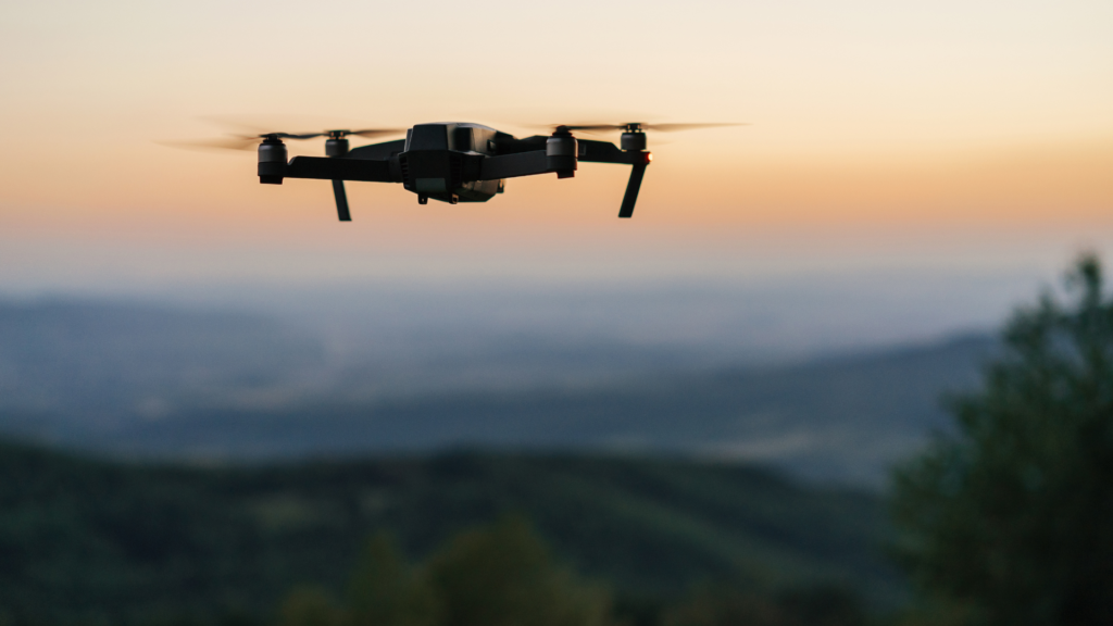
In the realm of modern construction, the integration of drones has revolutionised the way we approach site management, monitoring, and progress tracking. At Two70° Drone Survey and Services, we leverage cutting-edge drone technology to provide comprehensive solutions for construction projects. Let’s delve into the stages of engagement where drones play a pivotal role:
Stage 1: 2D Modelling
At the outset of a construction project, our drones are deployed to capture detailed aerial imagery of the site. This imagery is then transformed into accurate 2D models, providing stakeholders and engineers with a real-time replica of the site. This 2D model serves as a valuable tool for measurements, assessments, and collaborative planning. Engineers can use this detailed model to plan logistics, layout designs, and understand site conditions without physically being present.
Stage 2: Cut/Fill Analysis
One of the significant cost-saving benefits of drone surveys comes into play during the Cut/Fill stage. Drones facilitate the efficient measurement and analysis of stockpiles on-site. By precisely measuring the volume of materials in stockpiles, project teams can optimize their resources. The drone data provides insights into how these materials can be utilized on-site, reducing the need for transportation or procurement. This strategic approach not only saves costs but also minimizes environmental impact.
Stage 3: Progress Tracking and 3D Modelling
As construction progresses, our drones continue to monitor the site, capturing data at regular intervals. This data is compiled to create dynamic 3D models that showcase the evolving project in intricate detail. The 3D models offer a comprehensive view of the site’s development, enabling project managers to identify potential issues, monitor progress against schedules, and facilitate better decision-making. These detailed models also serve as valuable assets for stakeholders, providing a visual representation of the project’s journey.
Key Considerations: Periodic Surveys
Throughout the construction lifecycle, periodic drone surveys are conducted to ensure that the information flow from the site to the project team remains seamless. These surveys act as checkpoints, verifying that the project is on track, materials are managed effectively, and any deviations from the plan are promptly addressed. By integrating periodic surveys into the project timeline, we maintain a constant stream of accurate data, empowering teams to make informed decisions at every stage.
In essence, our drone services at Two70° Drone Survey and Services are not just about capturing aerial views; they are about transforming data into actionable insights. We are committed to revolutionizing the construction industry by providing innovative solutions that enhance efficiency, reduce costs, and ensure projects are delivered with precision.
If you’d like to learn more about how drones can elevate your construction project, feel free to reach out. We’re here to partner with you on your journey to success.
Empowering Construction Through Aerial Precision.

