LiDAR Survey
LiDAR Services: Unmatched Precision and Details
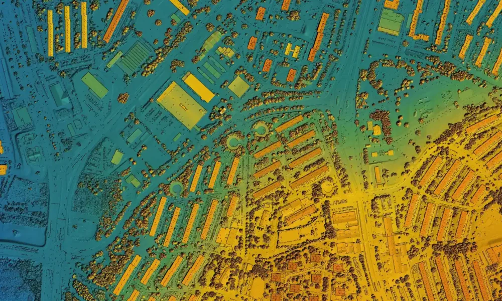
LiDAR (Light Detection and Ranging) sensors are at the forefront of precision aerial surveying. They capture intricate details of both terrain and above-ground features like vegetation and infrastructure with unrivalled accuracy and resolution, surpassing other airborne methods.
Advanced Technology for Detailed Insights
Our fleet of aerial LiDAR sensors emits up to two million laser pulses per second, creating large-scale, high-density, and incredibly accurate three-dimensional models of landscapes. Whether your project spans rural, urban, or metropolitan environments, our LiDAR services provide the precision and detail you need for informed decision-making.
Services:
- Asset Survey
- Vegetation encroachment & powerline corridors
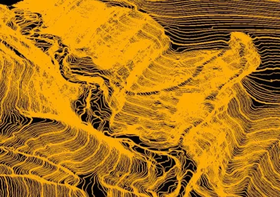
- Topographic Survey
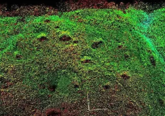
- Forest Survey
- Geohazard identification mapping


Lidar services
At Two70°, we are committed to providing you with the most advanced LiDAR services to meet your project needs. Contact us to learn more about how our LiDAR capabilities can elevate your projects to new heights.

High-Density Point Cloud Data
Our LiDAR services produce high-density point cloud data, enabling in-depth analysis and visualization of your project area. This rich data set allows for accurate volume calculations, asset inventory, and change detection over time. With millions of data points per square meter, we create a comprehensive 3D representation of the landscape.
Detailed Terrain and Feature Mapping
The advanced capabilities of LiDAR allow us to capture detailed terrain and feature mapping. This includes precise elevation data, vegetation height measurements, building outlines, and infrastructure details. Our LiDAR sensors can penetrate through dense vegetation, providing accurate ground elevation even in heavily forested areas.
Comprehensive 3D Models
From the detailed point cloud data, we create comprehensive 3D models of the landscape. These models provide an immersive and accurate representation of the terrain and features, aiding in design, planning, and visualization. Our 3D models can be used for simulations, virtual tours, and clash detection in construction projects.
Ideal for Various Environments
Our LiDAR services excel in diverse environments, making them ideal for a range of applications including forestry management, infrastructure monitoring, urban planning, and more. Whether your project spans rural, urban, or metropolitan environments, our LiDAR services provide the precision and detail you need for informed decision-making.
Unparalleled Accuracy
Our LiDAR sensors deliver pinpoint accuracy, measuring distances with an error margin of mere centimetres. This precision ensures every feature of your project area is captured with exceptional clarity.
Our LiDAR offers swift and precise data collection
Ensuring enhanced accuracy for detailed analysis and efficient project turnaround times. With minimal disruption to your site operations and improved safety measures, LiDAR provides reliable and consistent results. This cost-effective surveying solution is versatile, making it suitable for various industries and applications. Optimize your projects with the cutting-edge capabilities of LiDAR technology.
