What Is REOC? Two70° Drone Services in Sydney
At Two70° Drone Survey & Services, we combine expertise with cutting-edge technology to provide comprehensive drone solutions for Sydney’s industries. As a CASA-certified operator with a Remote Operator Certificate (REOC), we adhere to Australia’s highest standards for drone safety and compliance. Whether you’re wondering what REOC stands for or looking for licensed drone services, we’re here to deliver precise, efficient, and reliable results.
What Is REOC?
REOC stands for Remote Operator Certificate, a certification issued by the Civil Aviation Safety Authority (CASA) in Australia. It allows organizations to operate drones commercially and ensures adherence to strict safety and operational guidelines.
At Two70°, our REOC certification demonstrates:
- Compliance: Operations meet CASA’s stringent standards.
- Expertise: Pilots are fully trained and certified.
- Reliability: Projects are handled with precision and professionalism.
Whether you need advanced aerial surveys or reoc drones for specific tasks, Two70° is your trusted partner in Sydney.

Why Does REOC Certification Matter?
A REOC license ensures that drone operators have met the legal and safety requirements for commercial operations. This certification offers:
- Safety and Compliance
REOC-certified operators follow CASA guidelines, reducing risks during operations.
- Permission for Complex Operations
REOC holders can perform tasks like flying beyond visual line of sight (BVLOS) or operating in restricted airspace, making them indispensable for large-scale or specialized projects.
- Peace of Mind
Clients can trust REOC operators for safe, efficient, and legal drone services.
Searching for casa reoc or reoc casa? Two70° ensures you work with licensed professionals equipped to meet your needs.
Two70°’s Expertise in Drone Services
At Two70°, we offer a range of services backed by REOC certification:
- Cutting-Edge Drone Technology
Our drones feature advanced imaging systems, including high-resolution cameras and mapping tools.
- Precision Data Collection
From centimeter-accurate elevation models to detailed site maps, we deliver actionable insights.
- Rapid Survey Turnaround Times
With quick data processing, you get results fast—ideal for time-sensitive projects.
- Multi-Industry Expertise
We serve construction, real estate, utilities, and environmental sectors with tailored solutions.
- Advanced Mapping and Inspection
Utilize 3D models, thermal imaging, and more for comprehensive site analysis.
REOC Drone Applications Across Industries
Our REOC-certified drone services are transforming how industries approach complex challenges:
- Construction and Urban Development:
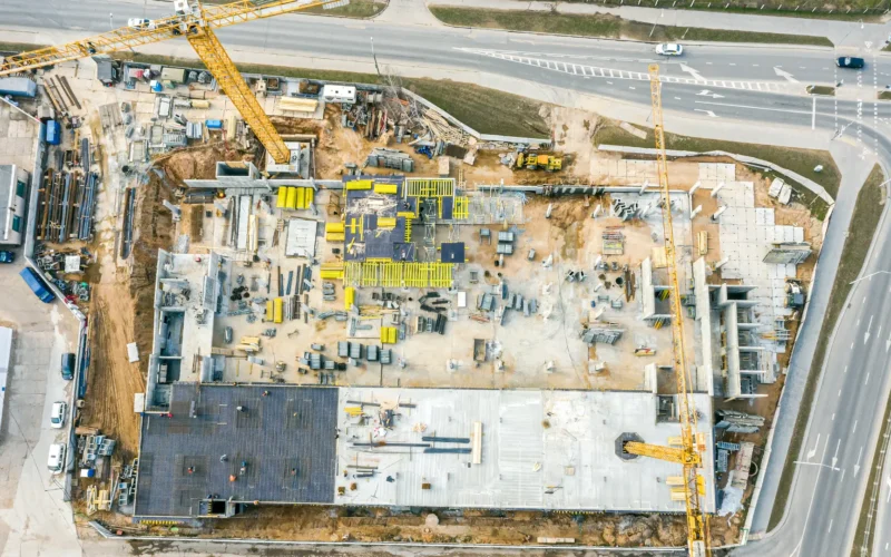
Perform accurate site surveys, monitor progress, and enhance project safety.
- Real Estate Marketing:
Showcase properties with high-resolution aerial imagery and videos.
- Utilities and Infrastructure:
Inspect powerlines, pipelines, and other assets safely and efficiently.
- Environmental Management:
Monitor ecological changes, track wildlife, or assess vegetation health with precision.
- Emergency Response:
Utilize drones for search and rescue missions or disaster assessment with drone thermal vision.
How REOC Certification Elevates Your Project
Working with a REOC-certified provider like Two70° offers key benefits:
- Enhanced Safety Protocols
CASA-compliant operations ensure risk mitigation and reliable results.
- Access to Restricted Areas
Conduct surveys in restricted airspace or complex environments with ease.
- Cost and Time Efficiency
Advanced drones reduce manual labor and shorten project timelines, saving resources.
